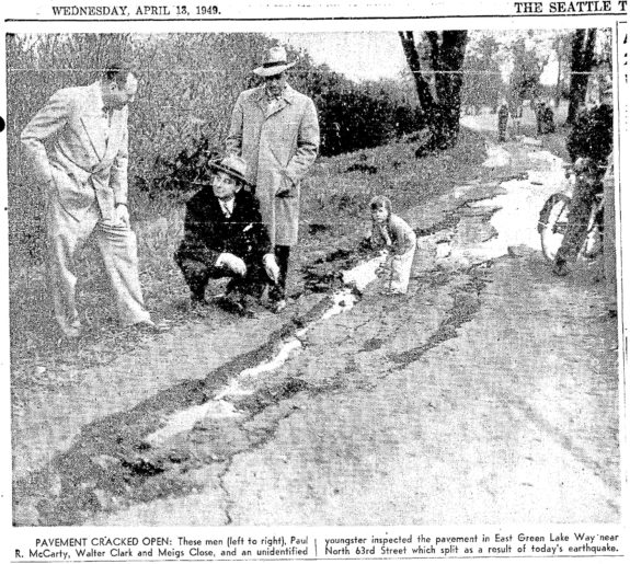
In researching my book, I came across this photo from April 13, 1949 showing large cracks in the Green Lake path. The 7.1 magnitude quake was centered between Tacoma and Olympia, but it caused significant damage at far at Oregon and British Columbia. Eight people were killed and many more injured as older buildings or structures on unstable soil collapsed, according to HistoryLink.
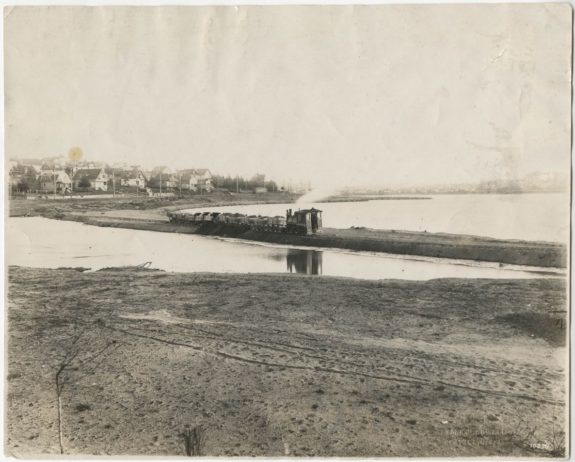
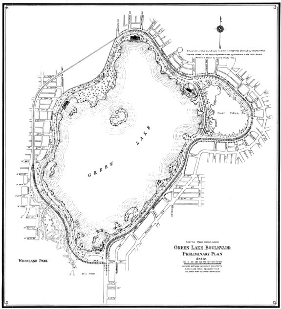
The park around Green Lake, which is largely the result of human engineering in the early 1900s, was damaged, especially near the southwest part of the lake. The photo above is likely somewhere just north of the Aqua Theater. In 1913, the city lowered the level of the lake, then used fill to create new park land around the now-smaller lake:

The park vision included a complete boulevard around the lake, though the western edge of that boulevard was later destroyed by the expansion of Aurora.

I don’t have a concrete point to make in this post other than to say, “Look at these wild old photos!” And, “Wow, we sure did a lot of land rearranging in this city!” And also, “Make sure you are prepared for an earthquake!”


