My family and I biked the new North Lake Washington Trail Loop Saturday, and it was amazing. It is an instant classic of a bike ride with wide appeal. I suspect it will supplant the always popular Seattle-to-Woodinville-and-back ride since riders can now complete the loop rather than backtrack on the Sammamish River and Burke-Gilman Trails. The Totem Lake Connector bridge was the final* major piece needed to make this trail loop fully functional, so the bridge opening celebration Saturday also felt like a celebration for this whole loop. (*As you will see in the photos below, the Eastrail crossing at 132nd Ave NE desperately needs a fix, but I still feel comfortable recommending the loop despite this problem spot.)
Of course, Seattle Bike Blog mostly focuses on bicycling for transportation, and these new trail opening connect many more homes and workplaces to a bike route that is faster, easier, safer, or all of the above.
But in this post, I am focusing on the recreational aspect because a major new loop of this significance is extremely rare. The ride it will widely replace (or, rather, build upon) has been a mainstay of trail riding in the area since the Sammamish River Trail and the Burke-Gilman Trail were connected in 1993. It’s a shade over 32 miles long, and Google Maps estimates a little over 600 feet in total climbing. For a bike ride loop of that length in this glacier-carved region, that’s just about as flat as you can get (I can’t think of a flatter trail loop, can you? Let us know in the comments below).
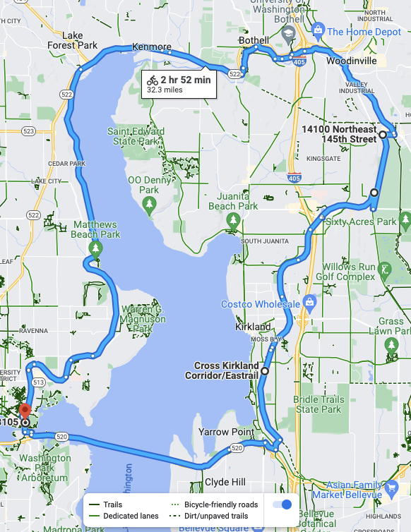
I suspect this loop will be many people’s first ever long bike ride, and they are going to love it. It’s got enough challenge to push people’s limits, but it is also peppered with parks, restaurants, breweries and wineries. So you could ride for 3 hours straight, or you could make a day of it and stop as often as desired. UW Station also serves as a fantastic start and end point, providing excellent regional transit access to this trail loop via both light rail and UW-bound bus routes.
The ride
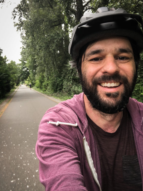
We started our journey in the U District. Though the Burke-Gilman Trail is well-known, it was a really cool feeling to set out on this familiar trail knowing there were places ahead I had never been. I was also very excited to show my five-year-old some new areas and parks she has never seen.
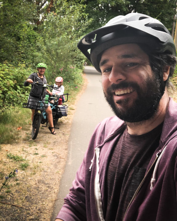
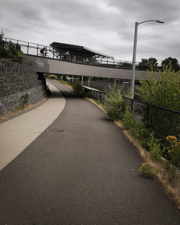
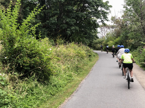
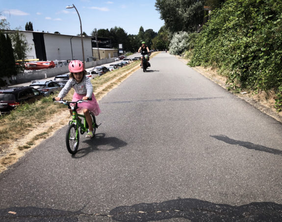
At Log Boom Park, the kid wanted to bike. I am amazed how far kids can bike when there are no cars around to threaten them.
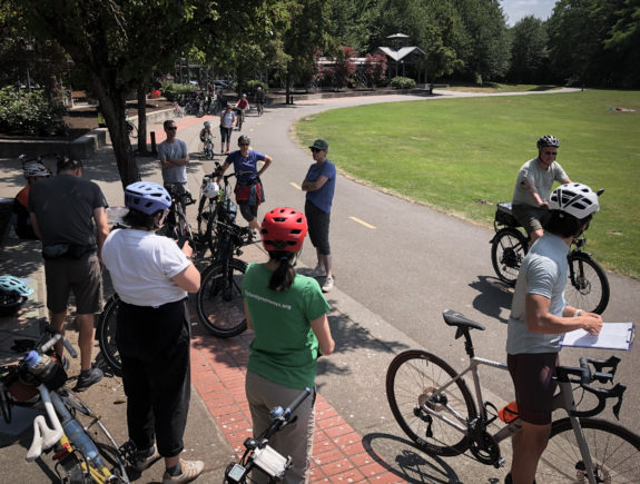
At Wilmot Gateway Park in Woodinville, we met up with a group Katherine Hollis, Executive Director of Eastrail Partners, was leading to the bridge opening celebration.
This part of the ride was secretly my favorite part because I had not yet ridden a couple of these newer stretches of the Eastrail, including the lovely stretch from NE 145th Street to NE 125th Street. This is where much of the trail becomes hard-packed gravel rather than asphalt, though it is still very bikeable on any bike.
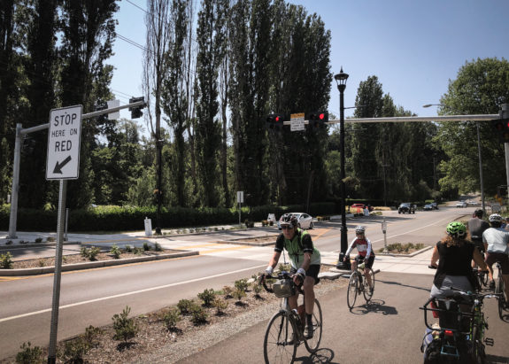
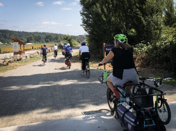
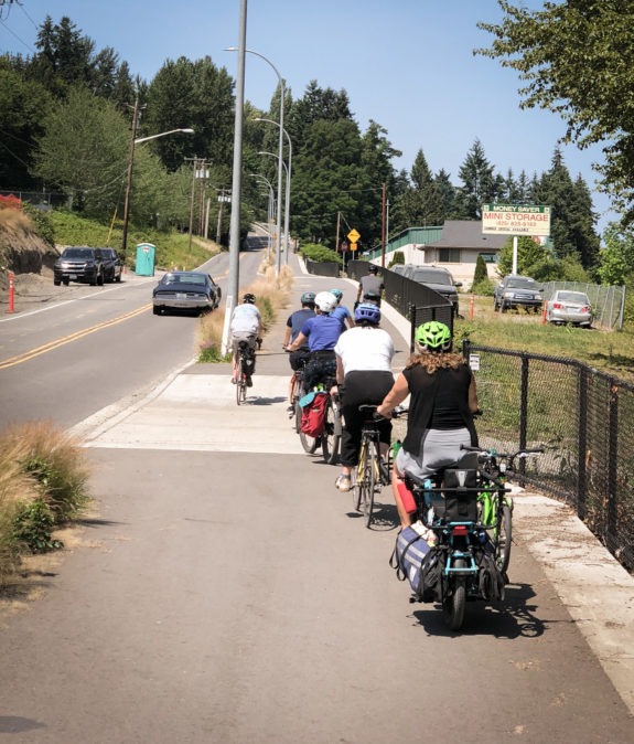
After so much gravel riding, the new Totem Lake Connector bridge feels stunning and other worldly. Its long spirals provide a gradual climb up and over a couple fairly busy streets. It also has places to rest, which are a nice touch. Sure, Kirkland probably could have just made some crosswalks instead, but the bridge sure is nice. It also serves as an iconic landmark for the Totem Lake neighborhood, which has been developing quickly, as well as a much more pleasant access point to the lake and its surrounding park.
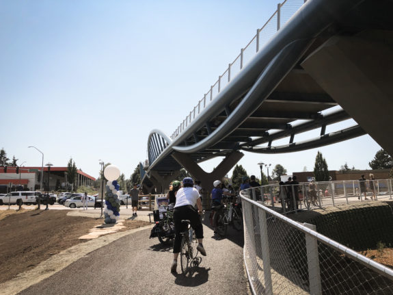
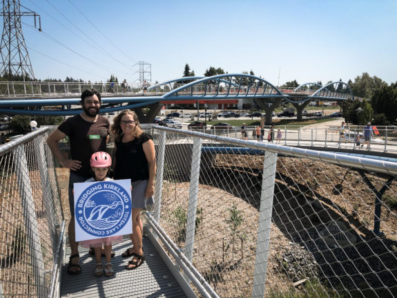
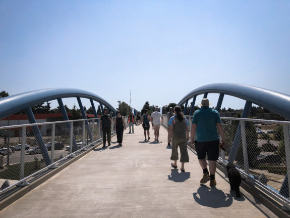
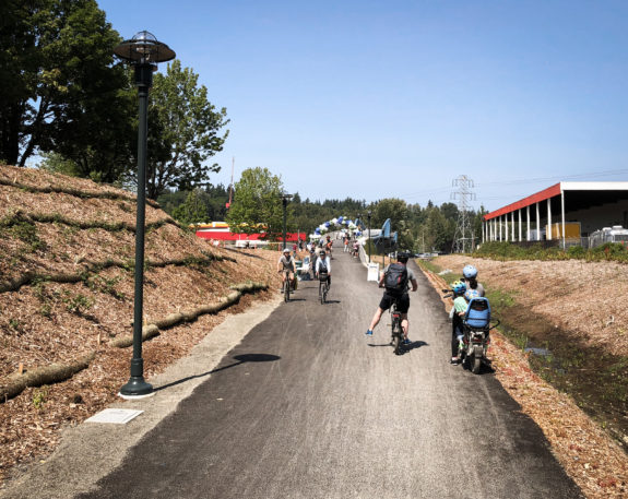
We made a cameo in Best Side Cycling’s video of the opening (that’s us in the opening shot). My kid was fascinated by Hanoch’s ridiculously long selfie stick, which got some really cool drone-like aerial footage. They give you a sense of just how many people showed up for the celebration.
But the kid was clearly in need of pizza and a splash pad, so we had to leave the party early to continue our ride through Kirkland to Chainline Station in Feriton Spur Park.
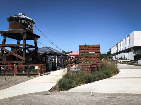
After some pizza, some beer, some splashing and some playground time, we continued on. The Cross Kirkland Corridor section of the Eastrail is mostly hardpacked gravel, though there are a few sections of pavement. We then turned onto 108th Ave NE for a steep couple blocks downhill to Northup Way. This section of road near the South Kirkland Park and Ride should be considered another gap in the route. It is only a couple blocks, and there is a painted bike lane in the uphill direction for most of the climb. But it needs better bike lanes that fully connect to the trail. There is a sidewalk for anyone who really does not want to bike in mixed traffic, though traffic usually is not too busy. A direct connection from the Eastrail to Northup Way is in construction, which will be great for a lot of users. But for people connecting to and from the 520 Bridge, this 108th shortcut will remain popular.
At the bottom of the hill, we crossed in the crosswalk and used the wide south sidewalk on Northup Way as a trail connection to the 520 Trail. The hills on 520 through Yarrow, Hunts and Evergreen Points are just a little tougher after more than 20 miles of riding, but there are parks and viewpoints along the way if you need to take a break.
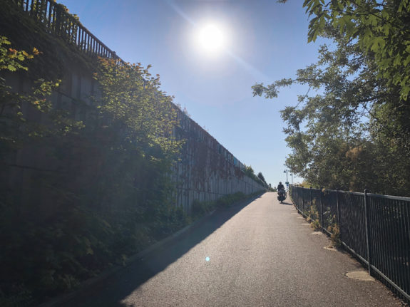
For the final stretch, the kid wanted to bike across the lake, stopping in every alcove along the way. We live in a very beautiful place.
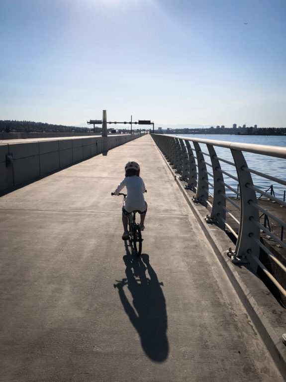
Just cross the Montlake Bridge, and you’re back to UW Station.
Have you ridden this new trail loop? I’d love to hear about your experience or any suggestions you have for new riders heading out on their first 30+ mile trail ride.


Comments
16 responses to “Biking the new North Lake Washington Trail Loop”
The bridge is nice, but given that the SRT already connected to the 520 trail, this is hardly enabling a radical new loop. Similarly, you still have to climb the hill along 124th – or climb the same height to get to a gravel trail that seemingly dead ends you without a street crossing unless you jog of a block back to 124th.
The hills leading to the 520 bridge have always been a bigger deterrent to the round trip in my opinion, so we’ll see if it significantly changes people’s mind.
The 520 Trail is not complete, unfortunately. The painted bike lanes on Northup have made it better than it used to be, but I’m not sure we can call it a full trail loop. It’s also just not as pleasant a ride since it is next to the freeway the whole time, which makes it fine for a transportation route but might explain why it doesn’t get many people waxing poetic about it all the time like some of our other trails.
Do you have an elevation map of the ride? Curious if one direction of the loop is more uphill than the other.
Because it is a loop, both directions have the same amount of total climbing, but most of the climbing is on 520 and south Kirkland. So the question really is whether you want to do the climbing at the start or end of the ride (assuming UW Station as the starting point).
Here’s the route on RideWithGPS:
https://ridewithgps.com/routes/43630246
which calculates it at 934 ft elevation gain.
As Tom points out, the steepest parts are in south Kirkland and the 520 bridge. I have found that the climb up 100th Ave NE to the Cross-Kirkland trail going counter-clockwise is particularly steep and unpleasant if there is traffic, and so I would recommend the clockwise direction.
Thank you!!!!
Interestingly, I rode the trail twice (once in each direction) Thursday and Friday – just before the bridge opened. It’s a nice additional way to get from Kirkland to Woodinville
While it’s not “technical” in any sense, I was glad I was riding 700×32 at just under 60 psi.
I’m not sure how much fun the gravel section would be with skinnier, higher pressure tires.
I’ve been enjoying this loop for about a year. The new Totem Lake Connector bridge makes the route a lot more comfortable, but it’s been rideable for a while. I’m hoping we get some sort of fix for the crossing at 132nd. Even an RRFB would be a huge improvement. The City of Kirkland has done a lot of things right on this trail, so I’m hoping for some action on 132nd.
I rode with the group Saturday out from Woodinville’s Wilmot park ( I was riding my recumbent gravel bike). I agree that the TL connection bridge is a key piece of the puzzle for the east side. Now I can ride from my house (Woodinville) on mixed surfaces all the way to my work in the OverLake area. That route avoids all those major crossings/hills along the microsoft campus/freeway route. I can also ride a quick gravel out and back route to Bellevue! Works for me…
The 520 bridge will be closed to cars for the next two (long) weekends! Biking across the 520 bridge with no car traffic is a pretty magical experience. I’m planning to explore this loop at least once in that time, and maybe stop at a couple of breweries and pubs along the way. Summer!
https://www.capitolhillseattle.com/2023/07/520-montlake-project-will-bring-weekend-bridge-closures-for-cars-10-day-boulevard-shutdown/
How much of the distance is unpaved gravel? Thanks.
See Dave R’s RideWithGPS link above. The dotted sections in the linked map are unpaved (about 23% of the total distance – or 7.5ish miles)
I went out and rode this loop with my partner last night and wow what a cool bridge and relaxing route being able to stay on trails the entire way! Thanks for sharing.
You missed one of the coolest park stops! The wetland near the Totem Lake Connector is really cool to bike over and then you end up at a playground that has this fascinating “hydraulic elevator” on the playground that is pretty unique.
We’ve done this loop a few times with e-bikes and there are public outlets at Wilmet Park and the splash pad near Chainline.
This is a great loop that can be broken up with playground stops for kids and the Totem Lake Connector seals the deal. Great summary.
is there a turn by turn description of this route? got to willows Rd at the r
end of a long gravel section then didn’t know where to go. thx!
At the end of the gravel at the Willows road intersection cyclists must turn sharply right ( nearly 180 degrees) follow the “side walk bike lane” back north. It will rise up and gently turn to the left. At this point is a crossing which puts you back on the railroad bed gravel. From there the gravel continues through TL, Kirkland and on to Bellevue.
It’s not the most direct or intutive connection point. Dare I say it sucks ? Personally I cheat through the cottonwood trees down a little gravel side driveway. Saves that dumb out and back to the uncrossable intersection. It would be great to post some way finder signage for folks riding for the route for the first time. It could potentially turn into a highly popular loop from North Seattle….