— Advertisement —
  • Friday: Critical Mass will ride to Dexter/Thomas to hold a vigil for Jaahnavi Kandula + Defunded safety project had been more than a decade in the making

    Project map showing improvements on Thomas Street between 9th and 5th Avenues North.
    Project map for the now-defunded east segment of the Thomas Street Redefined project, which would have build a traffic signal at Thomas and Dexter.

    Jaahnavi Kandula—a 23-year-old student from Adoni in the Andhra Pradesh state in India who was studying at the South Lake Union campus of Northeastern University—was walking across Dexter at Thomas Street in a marked crosswalk when a police officer driving an SPD SUV struck and killed her shortly after 8 p.m. Monday evening.

    Our condolences to her friends and family.

    A GoFundMe set up to support Kandula’s family had raised more than $140,000 at the time of publication.

    Seattle Critical Mass announced via Instagram that their Friday ride will head to Dexter and Thomas to hold a vigil for Kandula. Riders will meet 6:30 p.m. in Westlake Park. People can also go directly to the fatal location to wait for riders to arrive. More details from Seattle Critical Mass:

    This Friday, January 27th 2023, we are going to hold a moment of silence and vigil for Jaahnavi Kandula at Dexter Ave North and Thomas Street. A 23 year old community member who was killed after being hit by a police officer in a speeding squad car. It has finally come out that Kandula was crossing from east to west in the crosswalk when she was hit!
    MEET AT WESTLAKE PARK 6:30pm
    🤍🤍🤍🤍🤍🤍🤍🤍🤍🤍
    Sadly this isn’t the first vigil we’ve held. It really hurts that Critical Mass knows all the steps to put these on. That means so many of our friends and family have passed on Seattle Streets.
    🤍🤍🤍🤍🤍🤍🤍🤍🤍🤍
    Like always, emotions are high!
    Let them show through your voices! Be honest with yourself and look out for one another. Critical Mass is a safe place to express yourself. With that said, violence of any kind will not be tolerated.
    🤍🤍🤍🤍🤍🤍🤍🤍🤍🤍
    TAKE THE LANE
    TAKE CARE OF EACH OTHER
    SHUT IT DOWN
    🤍🤍🤍🤍🤍🤍🤍🤍🤍🤍

    Details from police about what exactly happened have been limited. The post on the SPD Blotter noted only that the officer was driving northbound on Dexter in a marked patrol vehicle when he struck Kandula as she walked westbound in the crosswalk. The Traffic Collision Investigation Squad reports often take a while before they are released. This incident is likely to get extra public interest since a police officer was behind the wheel, which means TCIS will be investigating the actions of a fellow officer. You can listen the police radio recordings from the incident online (overdose call starts at 8:00 PM, and the first mention of the collision comes at 8:05 PM), though there are not many more details in the audio.

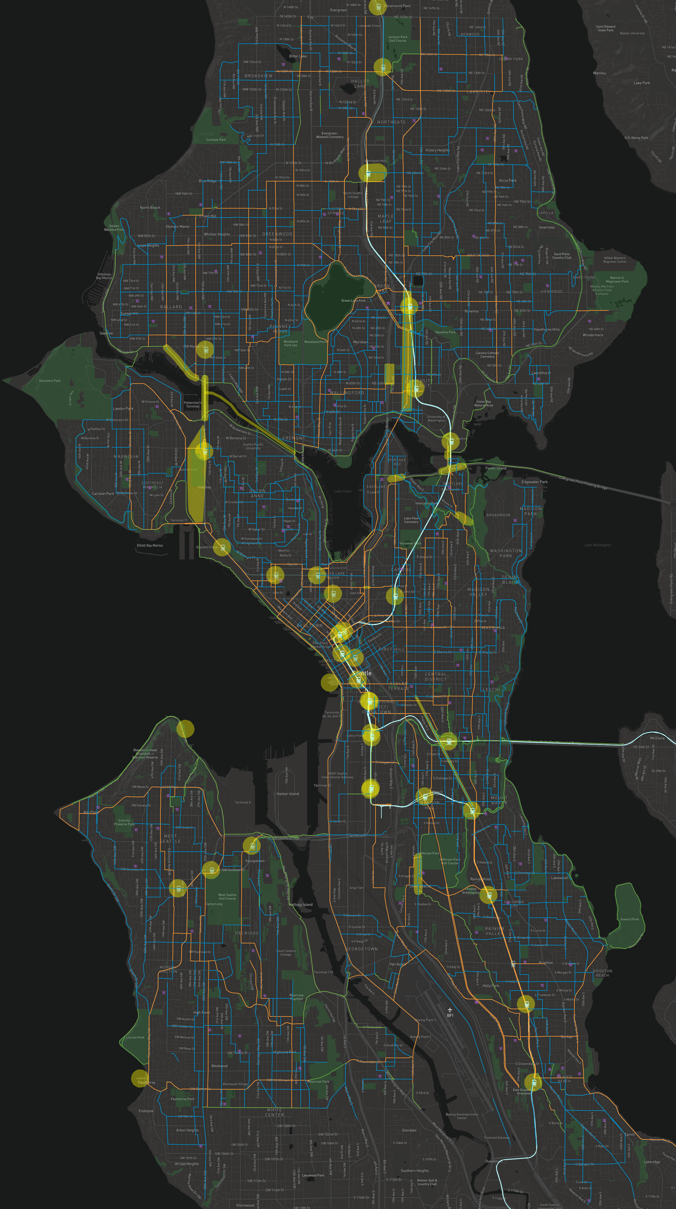
    Dexter/Thomas has a sad and frustrating history

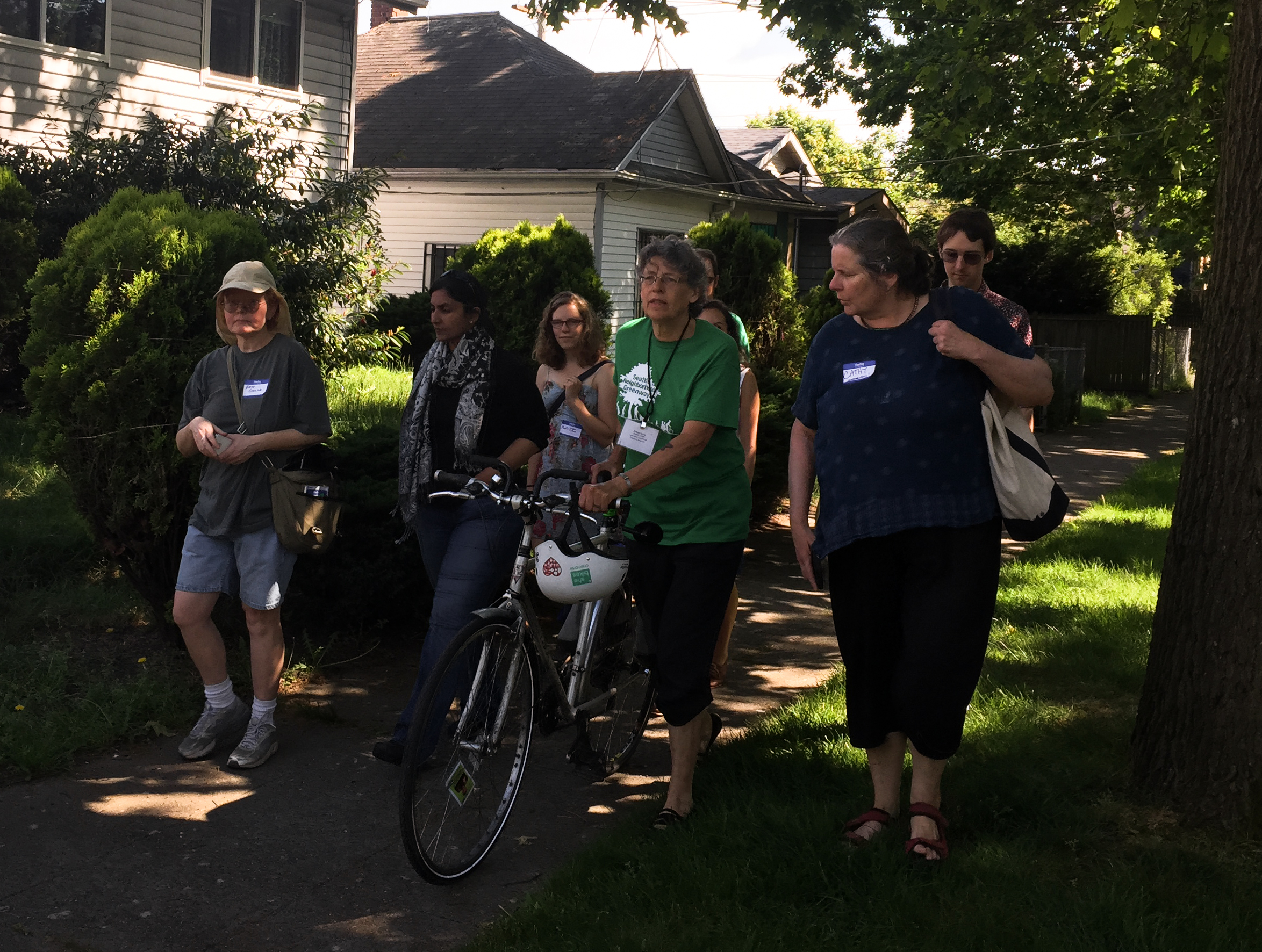
    This will unfortunately not be the first memorial for someone killed in traffic at Dexter and Thomas. Mike Wang died there while biking home from work in July 2011 when Erlin Garcia-Reyes struck him with an SUV and then fled the scene. Along with Adonia Lugo and Davey Oil, I helped organize a memorial ride in 2011 that included Dexter and Thomas. It was an experience that changed my life by forcing me to come to terms with the scale of the heartache and pain traffic violence causes for entire communities of people every time someone is lost.

    Dexter has since been significantly redesigned, with SDOT adding protected bike lanes and attempting to reduce the effective width of a very wide street that was once envisioned as the grand boulevard into a new civic center that the city never built. With the opening of the new SR-99 tunnel in 2019, Thomas Street was reconnected and became a major walking and biking route between South Lake Union and Seattle Center. With the urging of then-Councilmember Sally Bagshaw, neighbors and SDOT drew up plans to improve the walking and biking environment on this new street as part of the Thomas Street Redefined project. The project website still lists the “interim schedule” for the planned “Dexter/Thomas Protected Intersection” as slated for completion in early 2021, but the project was delayed under Mayor Jenny Durkan as the pandemic understandably threw many city projects off their pre-pandemic timelines. Mayor Durkan tried to cut the project’s funding in the 2021 city budget, but advocates fought the cut and the City Council voted to restore its funding. The city then tried to divert the Thomas Street funding to pay for the Stay Healthy Street program, but the Bicycle and Pedestrian Advisory Boards pushed back to protect the project. The project was never prioritized, however, and as Publicola reported, Mayor Bruce Harrell cut $2.2 million from its funding in his 2023 budget. This time, the City Council did not restore it. The most recent update on the east segment, which includes a traffic light at Dexter, was posted in February 2022. Its “target project schedule” would have had Thomas Street under construction starting in 2022 and extending through 2023.

    It should not be this difficult for the people of Seattle to convince the city to invest in safer streets. Organizing over and over to try to save the same short safety project is exhausting. We have known for a decade that Thomas Street would become a primary walking and biking route once the old highway trench leading to the defunct Battery Street tunnel was filled in. I first wrote about what was then called the “Thomas Green Street” 12 years ago, writing, “We need a street from South Lake Union to Seattle Center and Queen Anne that, at its core, exists at a walking and biking pace.” At the time, there was no funding to build the concept, but the idea was to have the redesign in place by the time the streets were reconnected. That didn’t happen, and now it is once again unfunded. Neighbors and safe streets advocates will surely organize once again to try to convince city leaders to make Thomas Street the safe and inviting walking and biking route it should already be, but this time they will do so with broken hearts.

    — Advertisement —
  • Seattle Transportation Plan open houses will discuss the next decade of bicycle infrastructure

    The bicycle and e-mobility map from the Seattle Transportation Plan.
    Stitched together screenshots (large image) of the interactive online bike network map from the city’s survey.
    Map key: Long trips (orange): A network of travel ways that support longer trips to other neighborhoods. They are designed to accommodate high volumes people traveling at varying speeds. Short trips (blue): A network of travel ways that support shorter trips within a neighborhood to connect to parks, schools, transit, grocery stores, and neighborhood centers that meet daily needs. Multi-use paths or trails (green): Facilities located off the street that may be used by people biking, walking, rolling, running, skateboarding, and more. These may be used for long trips, short trips, and recreational use.
    Color-coded key for the map above.

    After extensive public outreach throughout 2022, the Seattle Transportation Plan is moving to the next phase as the team attempts to create a single map and plan that represents the city’s vision for the next decade or so of transportation investments.

    As happens every time the city asks the people of Seattle about their vision for our transportation future, people respond with strong support for transit, walking and biking.

    97% of respondents said the city should “prioritize creating a transportation system that is safe and comfortable for everyone” while 91% said they “support putting money towards sidewalks, bike lanes, etc., to help people walk, roll, and bike more.” The city also received 6,317 different comments on their first online feedback map, and 1,800 of those were specifically about needed bike improvements. You can read more about the responses in the Phase 1 outreach summary (PDF).

    In Phase 2 of public outreach, the team “will share what we heard from you during Phase 1 and show how your input is guiding the plan’s vision, goals, and objectives.,” according to an online survey that is open through February 21. “Please share how you want to get around in the future, what actions you would like us to take, and what you’d like to see in our draft transportation maps.”

    In addition to the online survey, you can also attend one of two open houses:

    • 1/28: Seattle City Hall (600 4th Ave, Seattle, WA 98104) Bertha Knight Landes room (11am–2pm)
    • 1/31: Seattle City Hall (600 4th Ave, Seattle, WA 98104) Bertha Knight Landes room (4pm–7pm)

    Cascade Bicycle Club has put together some talking points people can use during the open house and in your comments: (more…)

    — Advertisement —
  • Friday: True Loves play free show to celebrate cycling, climate action + Bike Works fundraiser tickets on sale

    Seattle’s fantastic True Loves are playing a free all-ages show 6 p.m. Friday at The Royal Room in Columbia City to “celebrate our community of cyclists, activists, and other environmentally-conscious supporters and friends who work to curb the affects of climate change.”

    Bike Works is asking adults to register online in advance and to let them know how many minors they are bringing so they know how many people to expect. The Royal Room will have food and drink to purchase.

    And if you appreciate Bike Works, you can toss them some bucks while registering. You can also buy tickets to their annual fundraiser April 30, which are now on sale at early bird prices. If you’ve never been to Bikecitement!, it really is a lot of fun even if you aren’t usually a fundraiser dinner kind of person.

    — Advertisement —
  • WA bill would ban right turns on red near schools, parks and other highly-walked areas

    A car waits to turn at an intersection with people biking in a protected bike lane and walking in a crosswalk. There is a no turn on red sign.Turns on red would be banned within 1,000 feet of certain places, such as schools, parks, hospitals, senior centers and other public facilities if Senate Bill 5514 passes during the 2023 State Legislative session. The bill—sponsored by Senators John Lovick, Rebecca Saldaña, Noel Frame, Derek Stanford and Marko Liias—is the first attempt in recent memory to ban turns on red in Washington State, a practice that became widespread across the U.S. under dubious pretenses during the Gerald Ford Administration.

    Local transportation departments can already choose to ban turns on red on an instance-by-instance basis if traffic engineers deem it appropriate. They just need to post a “No Turn On Red” sign for each turning location. The new law does, however, put additional onus on local jurisdictions to ban turns on red in highly-walked areas, stating that turns on red must be banned at any facility “with high levels of pedestrian traffic as determined by the appropriate local jurisdiction or the department of transportation.”

    Agencies will still need to install “No Turn On Red” signs at all relevant locations under the proposed bill. It does not seem to give local governments the ability to ban all turns on red with a simple ordinance. So this could be a good time to pursue your dream of starting a “No Turn On Red” sign-making business.

    The bill would also ban turns on red within 1,000 feet of certain locations statewide and require transportation agencies to install the appropriate signs. The itemized list includes:

    • Elementary or secondary school;
    • Child care center;
    • Public park or playground;
    • Recreation center or facility;
    • Library;
    • Public transit center;
    • Hospital;
    • Senior center;

    From my reading of the bill, drivers can only be held responsible for breaking the law if there is a “No Turn On Red” sign present. The bill as currently written also seems to only apply to right turns on red. This is a little confusing since I would assume the same principles also apply to left turns on red, which are generally legal at certain somewhat rare locations where two one-way streets intersect. They could likely revise this by simply dropping the word “right” and just saying “turns on red.”

    The bill is an interesting take on the issue, trying a significant yet still more gradual tactic than simply banning the practice statewide. But it’s not clear if the state even can ban turns on red thanks to the federal Energy Policy and Conservation Act of 1975, an act sponsored by Washington Senator Henry M. Jackson. The EPCA did a lot of things in response to the 1970s oil crises, such as creating the strategic petroleum reserve, regulating the energy consumption of consumer goods and creating some fuel economy rules. But the act also required states to allow turns on red if they wanted to receive federal money for conservation programs, so all 50 states quickly adopted the practice.

    But the idea that allowing turns on red would help conserve fuel has always been rather dubious, especially when you consider that allowing the practice made crosswalks significantly less safe and less comfortable for people walking and rolling. It also increased the risk of right hook collisions with people biking. Turns on red essentially make it legal for people in cars to take time and space that should rightfully belong to people walking and rolling. We have all gotten used to people in cars encroaching into our precious crosswalk space even when we have the walk signal, but it shouldn’t be this way. Banning turns on red is a big step toward giving crosswalks back to people walking and rolling.

    The practice is even more concerning in recent years as major carmakers push larger and taller cars onto the public, many of which have horrifically obscured visibility directly in front of the vehicle. Walking around Seattle with my kid, who is currently 3’6″, it is terrifying to watch people pull up to a crosswalk in a modern SUV and to realize that the drivers simply cannot see her. The front ends of some of these machines essentially blocks drivers’ views of all or most of the crosswalk. My kid keeps seeking more independence, and I trust her to make the correct decisions about when to cross the street. We have been practicing for years, and she is very good at waiting for the walk signal and then looking both ways to make sure all the cars really are stopping. I walk with her, but I let her make the decision about when to go and when to wait. I have not needed to step in to correct her in a long time. But even if she does everything correctly, it is beyond her control if the person driving through the crosswalk to turn on red is physically incapable of seeing her because of reckless and irresponsible design decisions by major car manufacturers. It’s heartbreaking that kids do not have a fair chance to move around their own neighborhoods just because they are the height of a child. Banning turns on red is an appropriate and needed response to the reality that so many vehicles on our roads have such poor front-end visibility. U.S. vehicles are no longer compatible with turning on red.

    It’s difficult and likely impossible to quantify exactly how much excess fuel has been burned because our nation’s crosswalks were sullied by turn on red laws in 1970s, but I am willing to bet the figure is far larger than the supposed fuel savings from car engines idling less. After all, giving more time and space to cars leads people to drive more. And taking time and space from people walking makes people walk less. Walking does not burn any oil.

    So if we decide, as I hope we do, that Washington needs to ban or severely limit turns on red, what is the best way to get there? Given that generations of drivers have been driving with legal turns on red, maybe installing “No Turn On Red” signs at every intersection really is the best way to achieve the goal. We’re talking about an enormous number of signs here. But I’m not sure that trying to change the law without the signs would work as well. After all, we are trying to change the behavior, not just make it illegal. So I say, let’s get those sign shops to work.

    — Advertisement —
  • Councilmember Sawant expanded what is possible in Seattle

    Group of six walking down a sidewalk together.
    Kshama Sawant on a walk to discuss safe streets issues in 2015.

    Kshama Sawant, the City of Seattle’s most tenured elected official, will not run for reelection after a decade in office.

    Seattle Bike Blog has endorsed Sawant consistently since she pulled a remarkable upset to unseat Richard Conlin during the 2013 election, a seat elected citywide at the time. Despite Council terms typically being four years long, the 2023 election would have been her fifth election in just ten years thanks to the move to Council Districts in 2015 and a failed recall in 2021. Despite all these attempts to force her from office, Sawant is now stepping down on her own terms.

    Sawant rarely made transportation issues her primary focus, but she was a long-term member of the Council’s Transportation Committee who was a consistent vote in favor safe streets and transit. Even though her transportation votes are not going to be the moments she is widely remembered for, her many years of support added up to make a real difference for safe streets.

    But her larger and longer-lasting impact on Seattle will be the way she proved that our city was willing to vote for big changes. Her election in 2013 was probably the most impactful election in decades because it completely shook up the assumption that the voters ultimately sought change that was slow and gradual. Does the city pass a $15 minimum wage without her election? Sure, the Mayor Ed Murray version was watered down compared to what Sawant was advocating, but I doubt it would have happened without her winning. Would the city have gone as big with their funding initiatives, such as the nearly $1 billion 2015 Move Seattle Levy, if Sawant hadn’t demonstrated the population’s willingness to go big at the ballot box? What about Sound Transit 3? Big ideas that might have been considered a dream before Sawant were taken more seriously afterwards.

    Her departure opens the District 3 Council race for the first time ever, which could lead to a fascinating race. This is the district that typically goes the hardest for every transportation funding initiative, for example, so there is a lot of room for a candidate with a very bold vision prioritizing walking, biking and transit.

    — Advertisement —
  • State Routes lead Washington’s horrible increase in deaths of people walking, biking or rolling

    The Washington Traffic Safety Commission has put together a new dashboard breaking down the conditions surrounding traffic deaths of people walking, biking or rolling. The data covers ten years from 2012 through 2021 (2022 data is not yet finalized), and there are some undeniable trends that point to the problems.

    First off, the worst chart in the whole dashboard shows that walking, biking and rolling deaths are trending in a horrible direction (the state uses the term “active transportation users” abbreviated “ATU”):

    Chart of fatalities per year showing a gradual growth from a low of 61 in 2013 to a high of 159 in 2021.This chart represents an emergency. 2013 was not exactly some stone age distant past for Washington State, and yet its total of 61 deaths was nearly a third as many as in 2021. 2013 may be an outlier, but it’s evidence that such a number is achievable as a very short-term goal with zero of course being the long-term goal.

    Map of Washington State with blue dots marking each fatality location. There are clusters around each population center with more dots spread along major highways. Most dots are in the Puget Sound region.A look at the overview map of fatality locations shows that the Puget Sound region is the epicenter of the crisis, which makes sense because it is also the largest population center in the state. The map also shows that deaths tend to follow heavily populated corridors along highways. This doesn’t mean the deaths are all on the highways themselves, but they tend to be near them.

    Charts comparing deaths by road type between 2013 and 2021.
    Seattle Bike Blog annotations are in red.

    (more…)

    — Advertisement —
— Advertisement —

Join the Seattle Bike Blog Supporters

As a supporter, you help power independent bike news in the Seattle area. Please consider supporting the site financially starting at $5 per month:


Latest stories

Bike Events Calendar

Jul
20
Sat
9:30 pm World Naked Bike Ride: Full Moon… @ Seattle Rep Parking Lot
World Naked Bike Ride: Full Moon… @ Seattle Rep Parking Lot
Jul 20 @ 9:30 pm
World Naked Bike Ride: Full Moon Ride @ Seattle Rep Parking Lot | Seattle | Washington | United States
Celebrate the Buck Moon by adorning your bicycle with blinky & twinkly lights. It’s the height of summer – warm nights and easy riding with friends. Saturday July 20 Parking Lot at Mercer St &[…]
Jul
25
Thu
7:15 pm Point83 @ Westlake Park
Point83 @ Westlake Park
Jul 25 @ 7:15 pm
Point83 @ Westlake Park
Meet up in the center of the park at 7ish. Leave at 730. Every Thursday from now until forever rain or shine. Bikes, beers, illegal firepits, nachos, bottlerockets, timetraveling, lollygagging, mechanicals, good times.ShareMastodonTwitterFacebookRedditEmail
Jul
27
Sat
all-day Bicycle Weekends on Lake Washing…
Bicycle Weekends on Lake Washing…
Jul 27 – Jul 28 all-day
Bicycle Weekends on Lake Washington Blvd
Details from Seattle Parks: On scheduled weekends from May to September, a portion of Lake Washington Boulevard will be closed to motorized vehicles from 10 a.m. Saturday to 6 p.m. Sunday. “Seattle Parks and Recreation[…]
Jul
28
Sun
all-day Bicycle Weekends on Lake Washing…
Bicycle Weekends on Lake Washing…
Jul 28 – Jul 29 all-day
Bicycle Weekends on Lake Washington Blvd
Details from Seattle Parks: On scheduled weekends from May to September, a portion of Lake Washington Boulevard will be closed to motorized vehicles from 10 a.m. Saturday to 6 p.m. Sunday. “Seattle Parks and Recreation[…]
Aug
1
Thu
7:15 pm Point83 @ Westlake Park
Point83 @ Westlake Park
Aug 1 @ 7:15 pm
Point83 @ Westlake Park
Meet up in the center of the park at 7ish. Leave at 730. Every Thursday from now until forever rain or shine. Bikes, beers, illegal firepits, nachos, bottlerockets, timetraveling, lollygagging, mechanicals, good times.ShareMastodonTwitterFacebookRedditEmail
— Advertisements —

Latest on Mastodon

Loading Mastodon feed…